The 2012 survey season began with the RV Keary and RV Geo vessels making a return to Dundalk Bay, to continue mapping as part of the INISHydro Project. Both vessels have been re-mobilised and kitted out with survey instrumentation after wintering in Dublin.
The Geo, a 7.5m RIB operated by the Geological Survey of Ireland, underwent some significant re-fitting - this took the form of an extension to the aft part of the cabin, allowing for a larger work area for the surveyor's station and an equipment rack for the dry end of the survey instrumentation. A generator was also fitted in the Geo's engine bay, which removed the previous reliance on batteries to power the survey gear. These additions have greatly increased the RV Geo's capabilities as a survey craft.
 RV Keary arriving into Port Oriel at sunset. Both vessels operated from this harbour, which is situated south of Dundalk Bay
INIS-hydro is a 3 year INTERREG IVA Programme with the Maritime and Coastguard Agency (MCA) in the UK as lead partners. The project brings together 7 partners to conduct hydrographic surveys in Ireland, Northern Ireland and Scotland. The partners are the MCA, Geological Survey of Ireland (GSI), Marine Institute (MI), the Agri-Food and Biosciences Institute (AFBI), the Scotish Association of Marine Science (SAMS), the Northern Lighthouse Board (NLB) and the United Kingdom Hydrographic Office (UKHO).
 Areas of seabed to be mapped during the INISHydro project
The surveys will be undertaken in Dundalk Bay, Carlingford Lough, Dundrum Bay, the Firth of Lorn and South West of Islay by several different vessels drawing on expertise from the various partners. The bathymetric data will deliver 3D baseline maps using multibeam echosounder technology which will be freely distributed. The project also plans to harmonise hydrographic survey specifications and synchronisation for future surveys.
 INISHydro partner organisations
These surveys comply with the partners obligations under the Safety of Life at Sea conventions and will be augmented with auxiliary scientific data collected in conjunction with the bathymetric data. Details of the project can be found on the website at http://www.inis-hydro.eu/
The project is essential as the current nautical charts for these areas were produced largely in the 19th century and whilst they were an enormous achievement for the surveyors of their day, these charts are not as reliable as their terrestrial counterparts and warrant updating. The territories to be mapped in the INISHydro project encompass important navigation channels, areas of environmental interest and potential sites for marine renewable energy. INISHydro also involves a very significant level of cooperation, bringing together so many partner organisations.
 RV Keary and RV Geo in Port Oriel. Note the cabin extension on the Geo, which was added prior to this survey season
INISHydro mapping in 2012 commenced in April, with the arrival of RV Keary and RV Geo in Port Oriel. The vessels worked in partnership, with the Keary focusing on the approaches to Dundalk Harbour and the Geo carrying out survey operations around Dunany Point and the southern, shallow portion of Dundalk Bay.
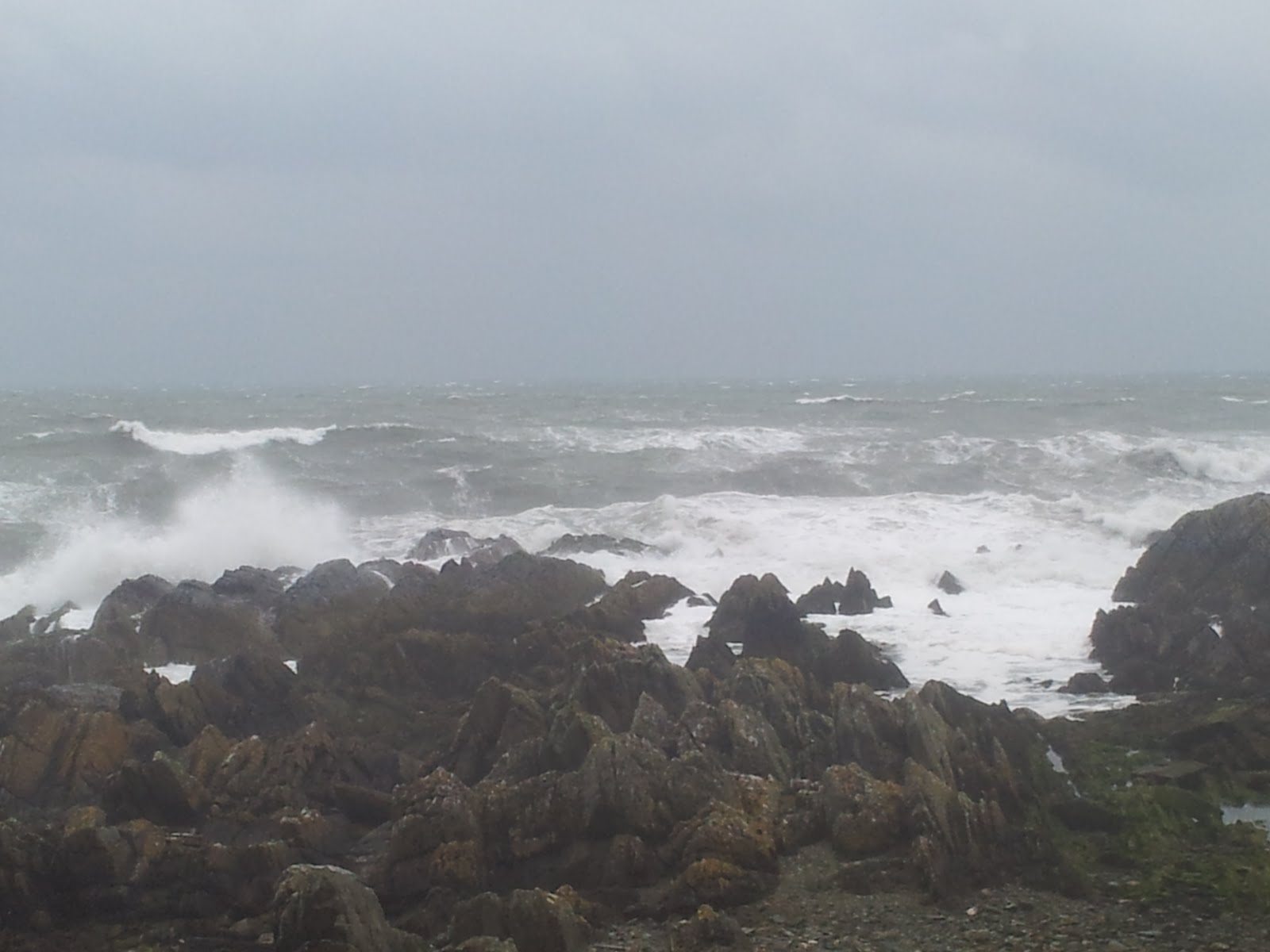
 Strong winds resulted in a rough sea state at times
Due to the exposed nature of Dundalk Bay, operations were sometimes hampered by regular strong, easterly winds. However, in spite of this the vessels significantly extended the bathymetric coverage that was gained last year (bathymetry is the water depth). The Keary mapped out a large wedge-shaped area of seabed that includes an interesting channel-like feature - this feature was also noted in last year's INISHydro blog entry.
 RV Keary 2012 bathymetric coverage (does not include RV Geo coverage)
The Geo extended last year's shallow water coverage into an area of shoals around the headland of Dunany Point at the southern extent of Dundalk Bay, along with merging with RV Keary coverage to the east.
 RV Geo coverage to date, merging with Keary coverage in the east. Note that the colour scale is different from the previous image - similar colours between the images do not represent the same depth
 Mini ROV (Remotely-Operated Vehicle), a valuable tool for inspecting the Keary's propellors